
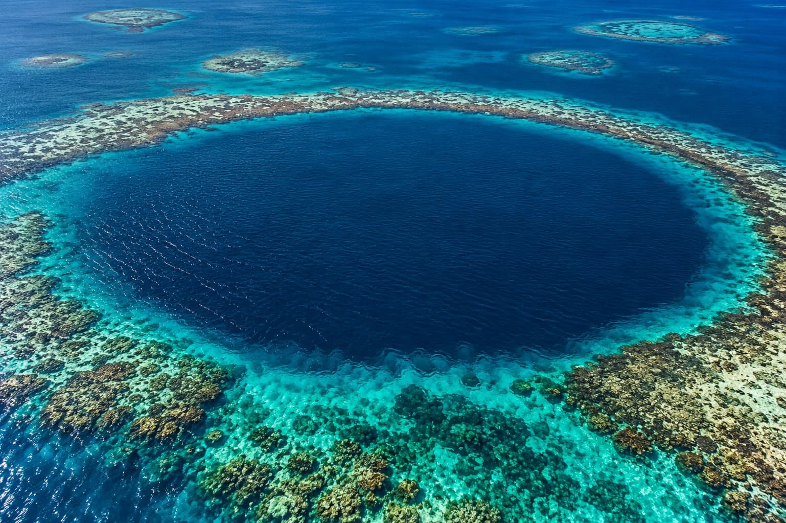
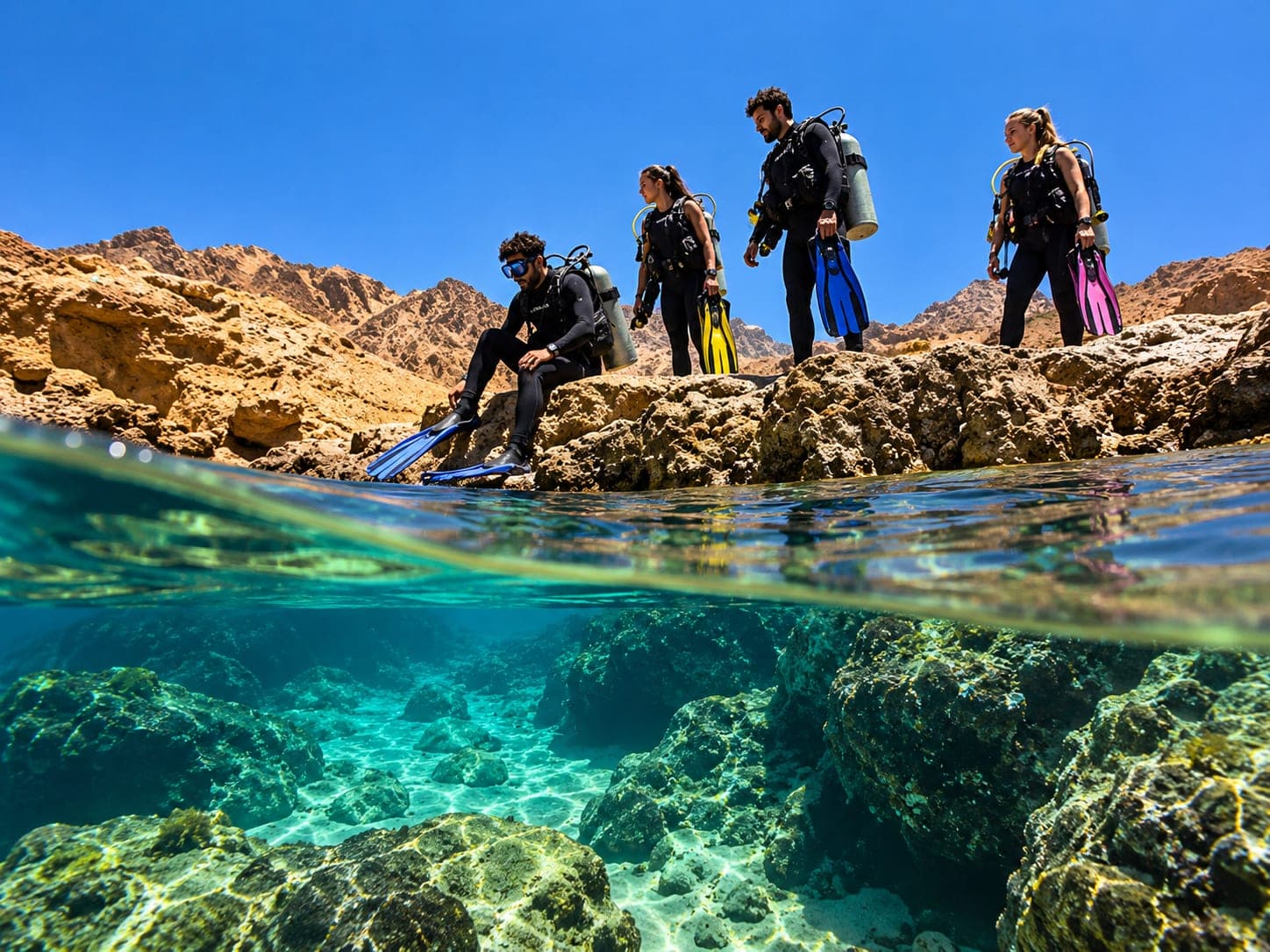
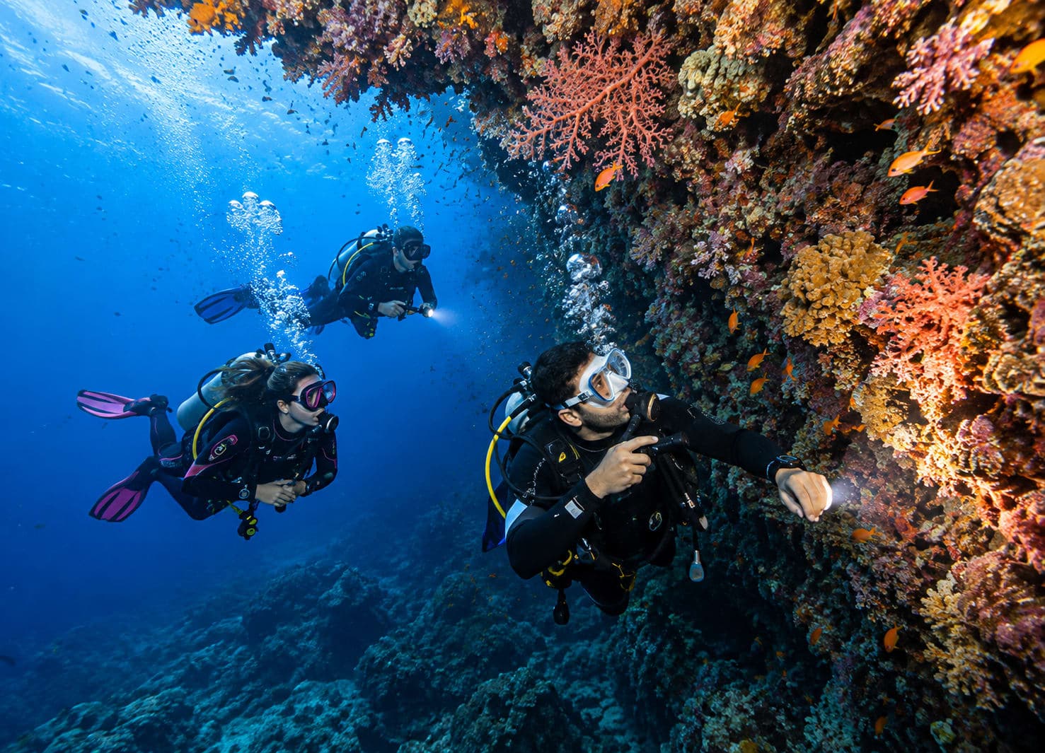
Blue Hole & The Bells
From $80 / person12 hoursDahabIncludes 3 h at this sight

Dahab · South Sinai
Typical visit: 3 h
Period: 1985 · Modern Egypt
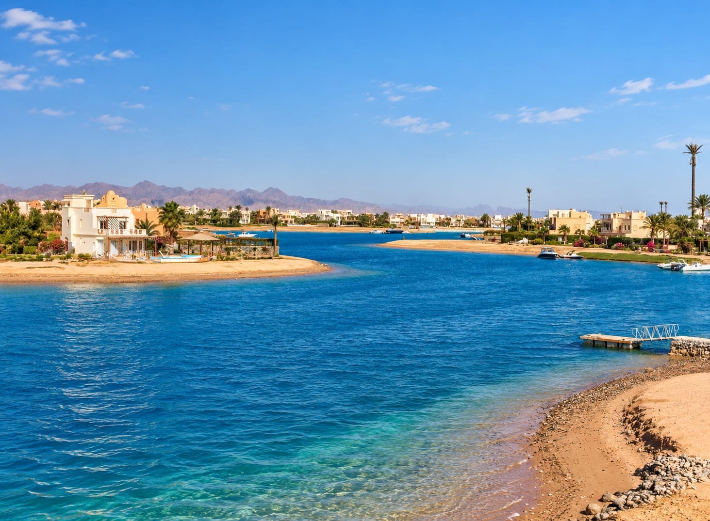
The shallow windward lagoon and the seafront strip behind it — cushions on the sand, kite lines overhead and a reef that starts where the promenade ends.


Dahab is a strip of low buildings between the Sinai mountains and the Gulf of Aqaba, and it has stayed that way while the rest of the coast turned into resorts. The lagoon at the southern end is a wide, flat, waist-deep basin held in by a sandbar — reliable cross-shore wind, no chop and no coral underfoot, which is why it is where half the Red Sea learns to windsurf and kite.
North of it, Masbat is the old fishing bay and the reason people stay longer than they planned: a kilometre of restaurants with their cushions laid straight on the sand, Bedouin tea, and the water close enough that the reef is a walk rather than a boat trip. Saudi Arabia is on the far side of the strait, close enough to make out its mountains at the end of a clear afternoon.
The town is the base for the Blue Hole and the Bells a few kilometres north, for the camel routes into the interior, and for the climb up Mount Sinai — but it is worth an afternoon on its own terms, which is not something you can say of most places on this coast.
Dahab — Arabic for gold, after the colour of the sand — was a Bedouin fishing settlement of the Muzeina tribe, and remained one through the Israeli occupation of Sinai from 1967 to 1982. It was found by backpackers in the 1980s and grew from a row of beach camps, which is why it still has a promenade rather than a resort strip.
Pick how many days you have, add attractions per day, and see average activity and travel times between cities.
Places that carry the same story forward, or sit close enough to take in the same day.
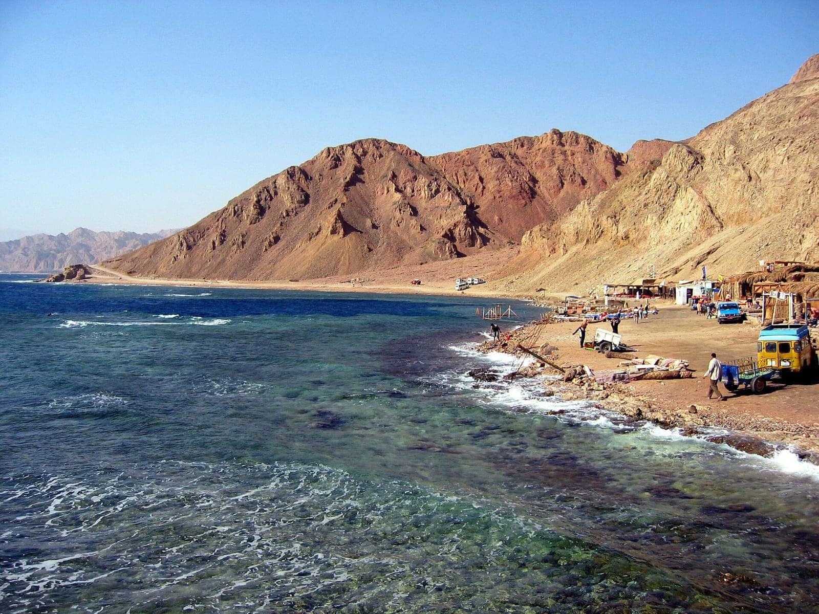
Iconic Red Sea sinkhole for diving & snorkelling
11 km away
Dive site · Dahab
11 km away

2015 · Contemporary
164 km away
2020 · Contemporary
158 km away
1941 · Second World War
94 km away
1989 · Modern Egypt
146 km away
Book a ready-made tour or use the designer above to build your own plan.
Hand-picked tours our guests love — top quality at reasonable prices, curated by Helios for your trip.